During a three-year ASR project, a California researcher is doing foundational work that will improve models of cloud cover in polar regions
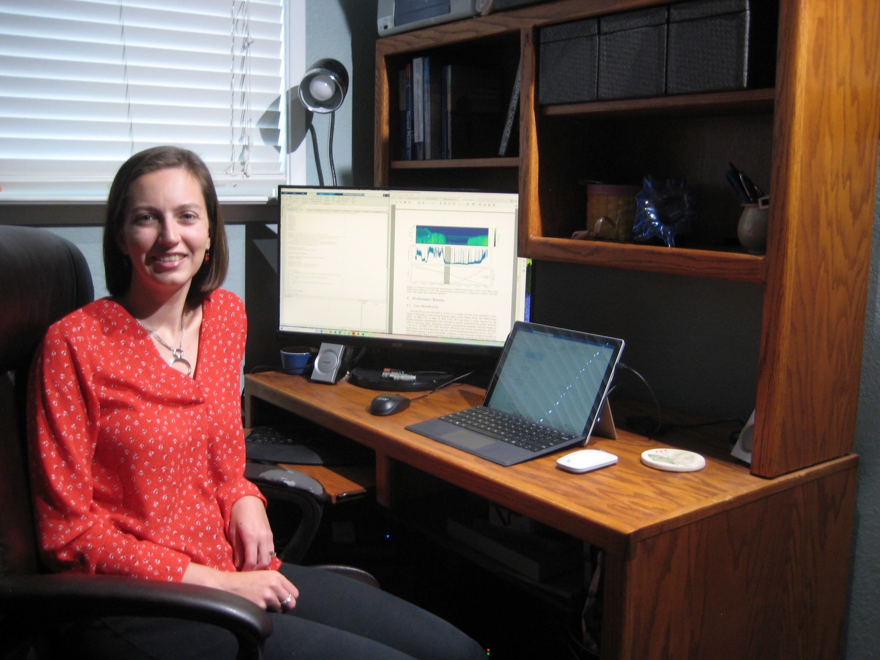
Atmospheric scientist Adele Igel is an assistant professor at the University of California, Davis. She and her Cloud Physics Group investigate phenomena quite distant from the Mediterranean-like climate of California’s Central Valley: mixed-phase arctic clouds. (Those are the kind that contain both ice crystals and liquid cloud droplets.)
Much of the data for the ongoing arctic project, in fact, comes from northern Alaska, where temperatures are barely above freezing only 120 days a year and where the Arctic Ocean nudges the coastline.
Igel uses lidar and other measurements from that region for a 2018 to 2021 project funded by Atmospheric System Research at the U.S. Department of Energy (DOE). It looks at how surface aerosol concentrations are linked to the way mixed-phase arctic clouds dissipate.
Aerosols—ultrafine liquid and solid particles suspended in the air—influence cloud formation, precipitation, and surface energy budgets. The concentrations of aerosols in the region are extremely low.
If such cloud-aerosol links are absent or weak, how do such clouds―known to be persistent and common―sustain themselves?
An Arctic Aerosols-Clouds Puzzle
One explanation Igel and her team are exploring is what aerosol populations look like both above and below mixed-phase arctic clouds, which are low-lying and have tops averaging 2 kilometers (1.2 miles) high. So far, little is known about how the properties of aerosols vary with height in polar regions.
The fate and physics of these clouds are important. They persist for days or weeks at a time and influence the surface energy budget―how much solar energy comes and goes. Because of their longevity, mixed-phase arctic clouds have profound implications for seasonal ice melt and other phenomena impacting climate change. (Over land in midlatitude regions, in California, for instance, typical cumulus clouds have lifespans measured in hours.)
“From a climate standpoint, we care a lot about whether these low-level clouds are present or not,” says Igel, “particularly from the perspective of the surface-energy budget. They influence whether ice is growing or melting.”
Meanwhile, global models to date only poorly simulate such clouds. To address such deficiencies, Igel and her team are busy designing and testing high-resolution models for insight into the aerosol-cloud puzzle.
They want to unpack the relationship between cloud-dissipation events and aerosols, arriving at a sense of the microphysics involved. They also want to model vertical profiles of aerosol properties and draw a picture of those properties above and below the boundary layer.
The boundary layer is the part of the atmosphere nearest the ground. It is affected by transfers of heat, moisture, and momentum from the Earth’s surface.
Leaning on Lidar
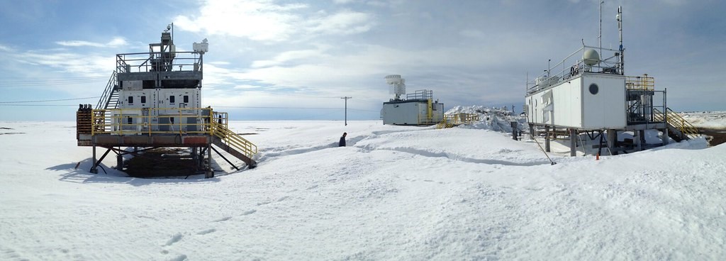
Igel’s high-resolution models will be informed by ground-based observations made in from Utqiaġvik, Alaska, formerly called Barrow. It’s the site of the North Slope of Alaska (NSA) atmospheric observatory, one of a series of such site operated by the DOE’s Atmospheric Radiation Measurement (ARM) user facility. Igel and her team use NSA observational data to identify cases where aerosols may have influenced cloud dissipation.
Measurements from Raman lidar are the key. These ground-based laser remote-sensing instruments―very much like radar but based on electromagnetic pulses at much shorter wavelengths―deliver data on aerosols, cloud optical properties, and water-vapor mixing ratios. Al these data are bookmarked according to altitude and time.
In situ lidar data help reveal a picture of aerosol properties above and below the boundary layer. From there, Igel and her team will model a select number of cloud dissipation-aerosol particle cases using large-eddy simulations.
In turn, such models will allow Igel and others to infer microphysical processes―a big step towards what she called in her ASR proposal an “unprecedented understanding of arctic aerosol and cloud properties, processes, and their interactions.”
From there, Igel hopes, future global and regional models will reflect improved representations of low-level clouds in the Arctic.
In Sweden, a curious cloud case
In the Arctic, mixed-phase clouds do not readily evolve to an all-ice state. They persist, as is, sometimes for days.
From time to time, however, the skies clear and these mixed-phase clouds go away, making snow and ice cover extra vulnerable to solar radiation. This cloud dissipation and transition to a clear-sky state that aroused curiosity in Igel during her days as an atmospheric science graduate student at Colorado State University (MS, 2012, PhD, 2015).
In 2014, with funding from the National Science Foundation’s Graduate Research Opportunities Worldwide (GROW) program and the Swedish Research Council, she spent three months at Stockholm University in Sweden. Working with meteorologist and aerosols researcher Annica Ekman, Igel dropped her dissertation studies to look at data from the 2008 Arctic Summer Cloud Ocean Study (ASCOS) field campaign. The ship-board drifting experiment in the central Arctic Ocean set out to study up close the formation and lifecycles of low-lying arctic clouds.
One ASCOS case caught her eye: From August 31 to September 1, 2008, a cloud that lingered overhead, then rapidly dissipated. Its disappearance was accompanied by a rapid decline is aerosol concentrations to about 7 aerosols per cubic centimeter. (By comparisons, continental aerosol concentrations average 1000 aerosols per cubic centimeter.)
How, Igel asked herself, were the decline in cloud cover and the decline in aerosols connected?
A Pivotal Paper
A few years later, in 2017, Igel was lead author on a paper looking at the same issue―this time investigating the vertical profile of aerosol concentration transport from above and below the cloud layer. Was the free troposphere a source of aerosol particles? Unlike sparse concentrations near the ground, cloud-top aerosols could be present in concentrations in the range of 100 to 200 per cubic centimeter.
“The surface aerosol concentrations may not be the whole picture,” says Igel.
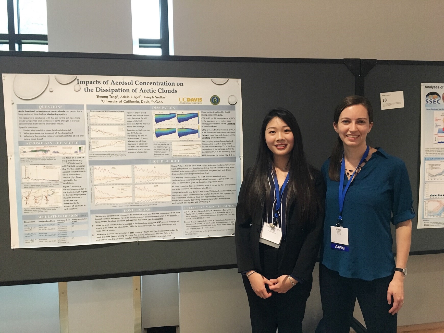
At UC Davis, Igel works mainly with graduate student Lucas Sterzinger on the project, which has about a year to go. Before that, Shuang (Lea) Tong, a recent master’s graduate, was in that role.
The co-PI on the ASR project is Joseph Sedlar, a research scientist in the Cooperative Institute for Research in Environmental Sciences at the University of Colorado, Boulder.
Sedlar was lead author on an August 2020 paper outlining five years of clear-sky cases from ARM data in Utqiaġvik. It reports that decreases in concentrations of aerosols do not appear to drive cloud dissipation events.
Next, says Igel, the ASR investigation will look into two or three cases from the Alaska data to see how aerosols play an important role in the microphysics of arctic clouds.
Igel’s research portfolio reaches beyond the Arctic but stays within her main interest: cloud-aerosol interactions.
In 2020, she took on a project for the U.S. Navy on how to model marine fog, the cloud-like surface phenomena that obscure vision.
“It’s a big, complex problem that models do not do well,” says Igel. “We are diving into the microphysics.”
How Storms Get Simulated
In the doctoral program at Colorado State, Igel made “an immediate connection” to atmospheric scientist Susan van den Heever, her eventual advisor.
For her master’s degree, Igel looked at the impact of aerosol particles on warm-front clouds during midlatitude synoptic (large-scale) storms. That inspired her to know more about how storms are simulated.
“It got me into how models work and how to improve them,” says Igel.
For her dissertation, that led to a comparison of bulk and bin microphysics―in particular, how models are affected by one factor: the size of cloud droplets. In a cloud, they might be 5 to 50 microns in diameter. That’s up to a million times smaller, in volume, than raindrops.
In turn, that led Igel to ponder the challenges of observing the distribution of cloud droplet sizes, which are largely confined to measurements from aircraft.
After nine months as a postdoc at Colorado State, Igel moved to UC Davis for a faculty job. Her husband, atmospheric scientist Matthew Igel, teaches as an adjunct there and leads the university’s convective atmosphere group.
They have a 2-year-old son, Stanley, and a daughter Elaine, who is 7 months old.
‘Thinking Like a Scientist’
Igel grew up in Springfield, Virginia, in suburban Washington, D.C., the oldest child of parents who are both computer scientists. Later in life, her mother turned to teaching middle school math and science.
“We were a technical household,” she says, mentioning that her two brothers now make a living in computer-related fields.
No one major weather event turned Igel to the study of meteorology. It was more her daily read of newspaper weather pages, where the maps and data were so captivating. In high school, she volunteered at a nearby branch of the National Weather Service.
From there, it was a glide path to North Carolina State University (NCSU), where Igel earned a bachelor’s degree in both meteorology and physics in 2010.
“I added physics as a way to challenge myself,” she says, “and to learn about the physical processes that govern our world.”
Looking back on her career and research projects, Igel credits the early mentorship of materials physicist Karen Daniels and aerosol scientist Nicholas Meskhidze during her days at NCSU.
“They taught me how to think like a scientist,” she says.
# # #This work was supported by the U.S. Department of Energy’s Office of Science, through the Biological and Environmental Research program as part of the Atmospheric System Research program.