From his pivot point at Rutgers University, a veteran researcher peels back the layers of cloud structure in critical ocean settings
Mark Miller, a researcher of clouds and Earth’s climate system, is a professor of atmospheric science at Rutgers University in New Jersey. Over the years, he has taught graduate and undergraduate courses in atmospheric physics, remote-sensing technologies, physical meteorology, and much more.
Over many of those same years, as the father of a now-teenage daughter, Miller has volunteered to talk about his work in preschool and elementary school classrooms near his home in Princeton, New Jersey.
To explain clouds to children, he uses the analogy of a mixing bowl. Clouds are made of many interacting ingredients―water vapor, droplets of water, ice, and particles called aerosols.
Clouds are also vastly present and vastly important.
Since they make, hold, and transport water, clouds are among the most important atmospheric phenomena you can imagine. They also have great influence on the Earth’s radiative balance. Clouds shade the surface to keep it cooler and let in solar radiation to make it warmer.
“We think of clouds as being visual artifacts of water in the atmosphere,” says Miller. “But when distributed into very small droplets, (all that) surface area has a large radiative effect.”
Think of driving through a misty rain at night with your headlights on, he says. That shows the reflective potential of tiny water droplets.
Addressing Uncertainties
For all their importance, clouds remain the largest source of uncertainty in the mathematical simulations that predict what climate conditions will be in 50 or 100 years.
“When we think about future climate states, we rely on models,” says Miller. “You find that uncertainty is largely derived from cloud feedbacks.”
Marine clouds, which contain relatively little water, are especially sensitive to environmental changes―increased warming, for instance, or alterations in aerosols.
“Any changes can have a fairly profound effect,” says Miller, which makes getting the models right very important.
A Shift in Cloud Structure
Miller, a talkative man with glasses and a professorial air, describes himself as happy and lucky.
Happy to be part of a science cohort studying the mechanisms that regulate clouds and radiation, often in systems where ocean and atmosphere interact. And lucky to be paid for doing what he loves since starting this kind of research more than 30 years ago.
Project grants are part of that system of science remuneration, including funds from a U.S. Department of Energy (DOE) program called Atmospheric System Research (ASR).
Miller’s latest ASR project as principal investigator is an ambitious 2021–2024 investigation of a particular phase change within the marine stratocumulus clouds, which cover more of the Earth than any other cloud type; about four-fifths of the total occur over oceans.
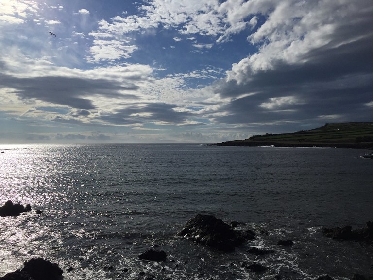
Marine stratocumulus clouds, thin and easily perturbed by environmental changes, reside in the lower mile or so of the troposphere―what scientists call the atmosphere’s boundary layer.
They also predominate over oceans in the Earth’s midlatitudes― between 30 and 60 degrees in the belt-like set of 180-degree coordinates that gird the Earth horizontally. This huge region of land and ocean, close to neither a pole nor the equator, represents a transition zone. The heavy overcast of the northern latitudes eventually gives way to the puffy, broken clouds of the tropics.
In between, large oceanic decks of midlatitude stratocumulus clouds reach a “cumulus-coupled” stage. That’s when cumulus clouds, rising from below, penetrate sheet-like layers of stratocumulus.
“Models,” Miller points out, “are not doing so well in this region and other regions where there are marine stratus transitions.”
His latest work sets out to fix that.
From Chaos to Order
“Chaos” is the best way to describe marine stratus transitions, says Miller, a setting with “multiple layers of clouds and multiple depths of cumulus.”
The cumulus clouds organize into heavily drizzling clusters called marine boundary layer convective complexes, or MBLCC. It’s that organizational process that Miller’s current ASR project is trying to unravel.
He asks: How are MBLCC formed? What physical processes are at play? What does the MBLCC life cycle look like?
Miller is counting on advanced computing and improved modes of observation to get some answers.
The ASR project, he says, was preceded by a seminal 2020 paper led by then-Rutgers PhD student Melissa Kazemirad. It laid out a set of simulations the team is now examining in more detail.
Miller is joined in the ASR project by co-investigator Katia Lamer of Brookhaven National Laboratory. Further computer simulations and observation analysis will be the work of recent Rutgers PhD graduate Qiuxuan Zheng and PhD student Stephanie Braddock.
So far, “we are very fortunate,” says Miller, and have a series of additional papers are on the way. “Our models not only (simulate MBLCC) but show them in graphic detail.”
However, he and his team not long ago were struggling to find an objective way to classify cloud structure, so they turned to AI (artificial intelligence).
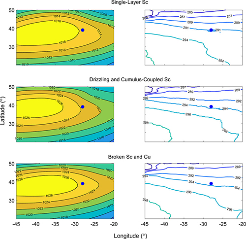
The result was a 2022 paper coauthored by Zheng and Miller that used four years of measurements on summertime cloud morphology in the marine boundary layer.
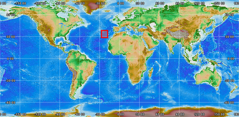
Data for the paper came from ARM’s Eastern North Atlantic (ENA) atmospheric observatory on Graciosa Island in the Azores. They include observations from the 2017–2018 Aerosol and Cloud Experiments in the Eastern North Atlantic (ACE-ENA) field campaign, which Miller says provided “exactly the type of transition structure we were wanting to see more of.”
ENA is one of three fixed-location observatories operated by DOE’s Atmospheric Radiation Measurement (ARM) user facility, which also sponsored ACE-ENA. ARM collects, quality-checks, and archives freely available data on the processes that make weather and affect climate.
Cloud systems in the Eastern North Atlantic, says Miller, “are among the more complicated and complex I have ever observed.”
From ASTEX to ENA
The issue of MBLCC points directly back to Miller’s days in graduate school.
In 1992, he took part in the Atlantic Stratocumulus Transition Experiment (ASTEX), a multi-national field campaign in the Azores to investigate cloud structure.
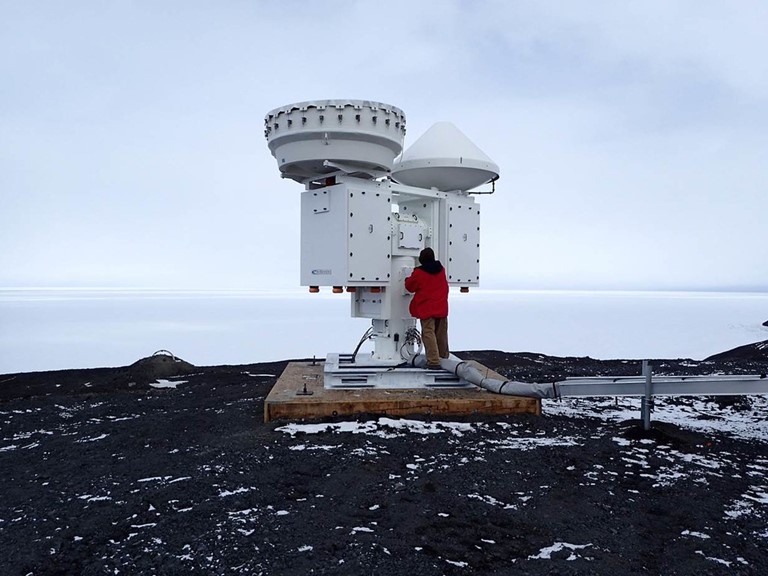
A year before, in Kansas, Miller had helped set up the first vertically pointing cloud radar ever deployed, which was the prototype of the present generation of instruments found at every ARM observatory.
“We noticed these organized clusters of cumulus rising into stratocumulus that were quite extensive, many kilometers in width,” says Miller of seeing MBLCC during ASTEX, which used instruments arrayed on land, ships, aircraft, and radiosondes. “No one expected it, and everyone commented on it. That level of organization was not only unexpected but not understood.”
A 1995 overview paper led by ASTEX principal investigator Bruce Albrecht included a radar image Miller had taken of a passing mesoscale cloud band. It shows the cloud top, an anvil structure, and drizzle falling to the surface from cumulus underneath.
Today, he says, new observation and computer assets show that “we are in a new world in terms of our capabilities,” highlighted by the data-rich ENA observatory, now in its 10th year and well placed to observe low marine clouds.
With ASTEX, “we had 30 days to look at a few of these things, then (observations) went dormant,” says Miller, an early advocate of the ENA site. “Now we have years (of data). We have a long data record showing that (MBLCC) were not just a one-time thing but happen frequently and in all seasons.”
“When we think about future climate states, we rely on models. You find that uncertainty is largely derived from cloud feedbacks.”
— Mark Miller
“When we think about future climate states, we rely on models. You find that uncertainty is largely derived from cloud feedbacks.”
— Mark Miller
Two Storms and a Love for Physics
Miller grew up in Belpre, Ohio, a historic town of about 7,000 along the Ohio River. Before then, in his earlier years, he and his family lived along Florida’s Gulf Coast.
Both places gave Miller what he calls severe-weather memories. In Florida, the first was the tearing winds and furious rain of Hurricane Alma in 1966.
In Ohio, years later, “I was literally standing in my front window with my brother watching an F1 tornado rip through about a hundred yards from our house,” ripping the roofs off houses and uprooting utility poles, he says.
“Ohio has a little bit of everything,” Miller says of his boyhood Buckeye state, including “somewhat epic” snowstorms.
The two memories did not propel Miller to long for a career in meteorology, though he made a habit of looking first at the weather page every day in the local paper. But the two storms set the seed.
Then came another formative reality during high school―being “a total science nerd,” he says, about physics especially.
At Ohio University (B.S. 1982), “I bounced around a lot” among technical majors, says Miller, including chemical engineering, an early career choice since the Ohio Valley is lined with petrochemical plants.
But he discovered a then-new program called pre-meteorology physics: heavy math, heavy physics, fluid dynamics, and more. By the time he finished a bachelor’s degree, Miller was the program’s first graduate.
He was also the daring undergraduate who, as a junior, applied for the first funding for a university weather forecasting laboratory. (Now called the Scalia Laboratory for Atmospheric Analysis, Miller’s brainchild is still thriving.)
In all, he remembers, “I felt very prepared for graduate school.”
A Brief Swerve to Industry
That laboratory forecasting experience drove Miller to Pennsylvania State University for graduate school (M.S. 1986, PhD 1994) – at first “with the full expectation of becoming a weather forecaster,” he says. “I never in my wildest dreams thought I would go to university to become a scientist.”
Then came another tornado―this one in the shape of Albrecht, the ASTEX lead, who (along with Chris Farrell) introduced Miller to higher-level meteorology, especially the science intrigues of the marine boundary layer. Aerosol generation was the subject of Miller’s master’s degree thesis.
In time, another Penn State influence, Dennis Thomson, got Miller interested in radars.
That interest led Miller to three years at a high-technology radar firm in Boulder, Colorado, which he says is “the state I lament leaving the most, as my spouse will tell you.”
Leaving private industry, Miller returned to Penn State for his PhD, where he helped Albrecht and others develop the university’s 94-gigahertz radar, the first vertically pointing radar. He was eager to use it for first-time observations of the marine boundary layer.
“The science of marine stratus.” Says Miller, “has always been my first love.”
‘Around the Planet’
“I’ve studied clouds around the planet,” says Miller, who was a postdoctoral researcher (and then a scientist) at Brookhaven National Laboratory before joining Rutgers in 2007. His field deployments, most for ARM, took him to West Africa, the Portuguese Azores, Germany, India, China, the Brazilian Amazon, and numerous spots in the United States.
Miller was the first site scientist (2004 to 2017) for the ARM Mobile Facilities, self-contained atmospheric observatories that do short-term deployments in the world’s climate hot spots. In 2005, he led the first field campaign to use an AMF―an investigation of marine stratus off the coast of Northern California called Marine Stratus, Radiation, Aerosol, and Drizzle (MASRAD).
In 2016, Miller was lead author of an AMF retrospective for a monograph on ARM for the Bulletin of the American Meteorological Society. Tom Ackerman, another strong influence at Penn State, and his one-time administrative mentor, former ARM Program Manager Wanda Ferrell, were among the coauthors.
Despite all the travel and all the experience, “there’s no more compelling place for me than the Eastern North Atlantic,” says Miller.
Data from ARM’s ENA observatory are spurring progress on understanding the evolution of marine cloud systems―and how that understanding may one day apply to cloud evolution in other oceanic transition regions.
The importance of the region and of the ENA site, Miller says, “can’t be overstated.”
Meanwhile, the ASR project allows Miller to focus once again, decades after ASTEX, on the criticality of the Eastern North Atlantic.
“That’s why I’m so happy to be doing the research I’m doing,” he says. “I really feel like I’ve come full circle.”
# # #Author: Corydon Ireland, Science Writer, Pacific Northwest National Laboratory
This work was supported by the U.S. Department of Energy’s Office of Science, through the Biological and Environmental Research program as part of the Atmospheric System Research program.