Clouds Re-gathered by Wind Shear
Submitter
Yang, Qing — Pacific Northwest National Laboratory
Area of research
Cloud-Aerosol-Precipitation Interactions
Journal Reference
Science
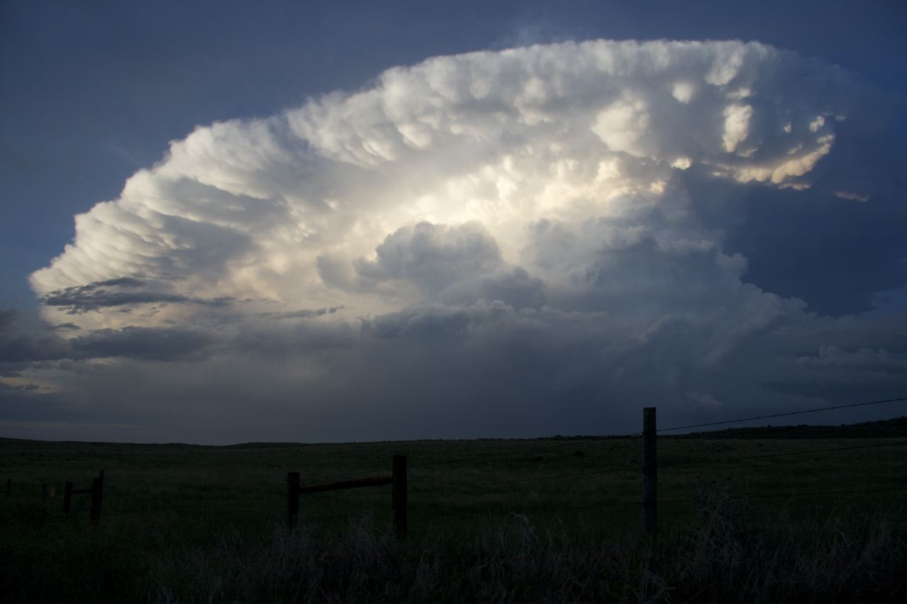
When Pacific Northwest National Laboratory (PNNL) scientists looked for the culprit responsible for organizing storm clouds into strong weather systems, they pinned it on a fickle force. It turns out that wind shear at different vertical levels of the troposphere, well known for batting planes off their course, has strong and erratic effects on cloud properties and their organization.
A study published in the Journal of Geophysical Research: Atmospheres shows that increased wind shear in the lower troposphere, the bottom-most level of forming weather systems, leads to more organized storm systems. In the middle troposphere wind shear tends to produce large vorticity—think cyclone—forming a mesocyclone circulation, or supercell-like system. Strong wind shear at the uppermost troposphere does not change cloud organization much, but instead weakens the intensity of storm clouds.
Impact
The PNNL researchers conducted model simulations under strong lower-level, middle-level, and upper-level wind shear environments using the Weather Research and Forecasting model, with a detailed bin cloud microphysical scheme at the cloud-resolving scale. They performed novel analyses of the time evolution and spatial distribution of dynamic and thermodynamic fields and their related diagnostics. They also performed sensitivity tests to isolate the factors contributing to the convective organization.
Summary
Small individual storm systems can gather together to form mesoscale convective systems (MCSs) covering an area of about 620 miles across or more. These "organized" storm systems occur frequently across the globe and are a large influence on the water cycle and heat budget of the Earth.
Scientific understanding of MCSs is still limited, especially when it comes to how and why they begin and organize. Understanding these processes is especially important so that scientists can create more accurate formulas to predict strong storm cloud (convective, moving heat energy and moisture) systems in regional and global climate models.